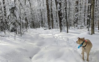
It's hard to believe it was just a few days ago that I strapped on my snowshoes for the first time this season. Even though the snowpack still wasn't all that deep, the solid crust would have made travels through the forest a bit less enjoyable. Snowshoe floatation is what I was looking for. A few mornings ago I met up with friends Mike and Brandon at the Meacham Lake State Campground for this little adventure into the wilds of Franklin County.
A Meacham Lake Campground surprise
We were all prepared to walk the roads through the campground since it was the off-season and the campground was closed, so we expected the roads to be converted into a snowmobile trail. But upon arrival at the entrance it was plowed and heavily traveled; this was a great sign and essentially took a mile off of our trip. Once we reached the end of the road we realized that a bit of tree relocating was going on. The swath and number of trees removed was way too much for additional campsites. I felt it looked to be a new boat launch and come to find out later that was the case.
 With snowshoes in hand, we crossed the logged area and strapped on our snowshoes on the other side. Brandon mentioned that there was an old trail up on the shoulder of the mountains that he saw on his GPS, and the trail used to go into the shallow pass. I wasn't too optimistic because most old trails or roads on topo maps are all pretty much completely taken over by nature. We snowshoed along a herd path that followed the shore of Meacham Lake, and then realized this wasn't doing us any good so we started right for Black Peak.
An old logging road from Adirondack history unveils itself
While heading to Black Peak we started to get closer and closer to the old trail. If it did exist in any decent state of being we would see it. Suddenly, there it was -- an unmarked trail that was definitely an old logging road, right where the GPS said it would be. Without hesitation we started following it.

Even with a few honkin' trees down the trail was very easy to walk and follow. Other sections were lined on both sides with red spruce, a telltale sign of a logging road. As we progressed through our new territory we started to realize that we were getting further from Black Peak and closer to East Mountain, so we changed our plans and pointed off toward East instead.
The old logging road soon ceased to exist in any form that benefitted our travels, so with collective hearts we started our bushwhack toward East Mountain, all 0.4 miles of it. Sure, we were close, but I think a small part of each of us wished the old road kept going. It was clear that what we were walking through at this point, in the flats of the region, was a frozen seep, and frozen is the key ingredient to easy travels.
 Once at the base we started our initial ascent on the peak, and it was a steep one. I think we must have chosen the steepest line on the mountain. Come to find out there was no mellow route to the top. We just had to dig in and climb. We avoided small cliffy areas by meandering about, and eventually through, some somewhat thick spruce growth and eventually we stood atop the summit with its screened views. We had hiked up the west side of the mountain, which was clear of snow on the trees. The north side was visibly not the case as seen from where we were standing -- it was a beautiful sight of white.
Black Peak gave us a peek
A few sips on some warm tea got me raring to go. We descended a bit of an altered route, one that was equally steep. We hoped to find a better view on the way down but had no luck. We quickly met up with our tracks and used those to get back down to the land bridge between East and Black.
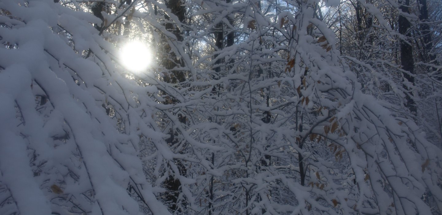
 In the valley and on the north side of Black Peak we too came into the snowy forest we saw from up high on East Mountain. It was a spectacular vision as the sun broke through the clouds and lit up the area like a beacon. We had very little to climb to reach the summit of Black, but it took much longer due to the fact that pictures were being captured continuously.
 The summit of Black did come down to meet us, and with a decent view of Moose and McKenzie mountains to boot. We could even see the very tip of Whiteface through a high valley of the Sable Mountains.
It was now time to head out, and we did so without hesitation. As we descended the northwest face we remained in the scenic snow for quite some time. The beauty outweighed the cold of the snow coating our necks.
 Moose have always been a frequent part of the region and soon they would show us their eating habits. I was unaware that moose enjoyed bark as part of their daily intake of fiber, but the local striped maples found out the hard way. The moose use there lower teeth to get under the bark layer and then rip it high up the tree. At first we thought it was a rub, but a local forest ranger later in the day educated us on the facts.

 We made a direct heading back to the old logging road, which came upon us rather quickly, faster than it felt at the time. Once we stood on it again we moved along much faster and would have a much shorter day than anticipated. We decided to follow it all the way back to the campground to see where it would kick us out, and come to find out it was just back up the road from the cars, about 100 feet. It was hidden behind some evergreens -- I guess I shouldn't have assumed that it no longer existed. Live and learn they say, live to play another day.
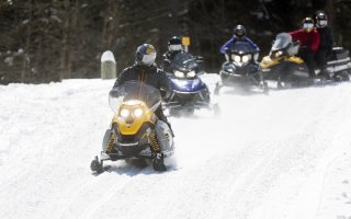
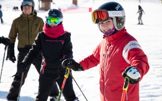
Not into hiking? Malone also has plenty of options for cross-country skiing, downhill skiing, and snowmobiling to keep you busy all winter long.

Comments
Add new comment