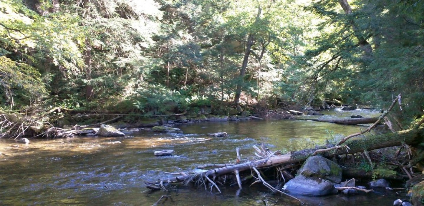
The Chateaugay and Marble Rivers are centered on the town of Chateaugay, east of Malone. There is stocking of brown, rainbow, and brook trout, with wild browns and brooks.
Four sections of public fishing access are accessible along the riverbanks. These are thirty-three foot areas (approximately from bank to the surrounding land) which allows fishing access. Look for the yellow signs which identify these areas as a Public Fishing Stream, and please respect the private boundaries.
Section I - Lower Chateaugay Lake: centered on the town of Brainardsville, where the Chateaugay River crosses State Route 24, and partially extending to a section up and down-stream of The Forge, between Route 374 and the Bunker Hill Cemetery. North of Chateaugay the banks with access parallel River Road.
Section II - Town of Chateaugay: the right bank along Chateaugay Chasm, and the right bank of the river running parallel with Cemetery Road. There are sections accessible from Route 11 on the west side, and a small section accessible from River Road opposite the Gravel Pit.
Section III - Canadian Border: Marble River section, left and right bank, both north and south of Cooks Mill. Runs parallel with Sandy Knoll Road. Right bank extends from Cooks Mill center north (with some left bank sections) parallel to Simms Road, to the northern end of the last single island heading north (the two islands north of that is too far).
Section IV- Marble River: extends from Sandy Knoll Road east to the Franklin County line. Left and right sections along Douglas Road and past Route 39, and on to Country Line Road. This section includes part of the Chateaugay Fish Hatchery, which is an attraction open to the public.