How to Get There
Follow Route 30 south out of Malone, toward Santa Clara, and turn right on Route 458. Follow Route 458 for 1.3 miles and locate the public access site on the left — you'll see an empty DEC signpost.
This is a dirt road that's quite rough in spots. Follow it and the signs for Madawaska Pond — each major intersection is well marked. Continue for 3.25 miles to an unmarked intersection with a secondary dirt road on the right. Drive down this road for 0.1 mile to a small sand pit and park. The road ends at this spot.
Overview
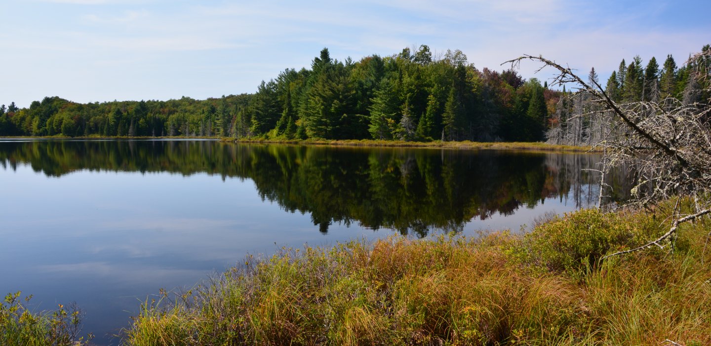
This is a very small pond located in the middle of the Santa Clara Tract. The pond's hidden location allows it to be missed by many who enjoy paddling remote locations. The short carry is at the back of the mentioned sand pit area and is easy to access. There is only one access point and it is a narrow canal with fairly deep waters.
Type of Launch
Narrow trough with vegetation on the shoreline.
Type of Carry
0.1 mile carry along a narrow foot path.
Type of Water
This is a sheltered pond that's calm and relaxing. It's an excellent location for wildlife watching.