Cycling
This charming loop covers 40.2 miles, including a stretch along Route 30, but it mostly consists of smaller roads that pass through small villages such as Saint Regis Falls. Scenery includes the upper part of the Saint Regis Canoe Area, a highly scenic Canoe Wilderness Area.
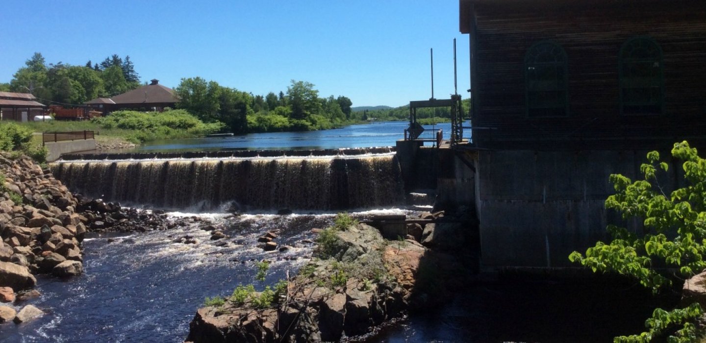
Take the wide shoulders of Route 30 south from Malone, passing many forest sections, ponds, and bogs. Look for the Meacham Lake spillway dam. Head north back to Malone, or take the Duane Center point along Route 30, at the edge of the Adirondacks, (the intersection of county Routes 26 and 14) and head west along County Route 14. This turns into Duane Street as it approaches Saint Regis Falls, and take the left (south) at South Main Street, to the beautiful spillway dam with pumphouse.
Follow South Main Street as it turns into Route 458 and then runs into Route 11B, heading east. Follow this back to the center of Malone.
Scenic Drives
For a longer ride, continue on Route 30 south to the Paul Smith's Visitor Interpretive Center.