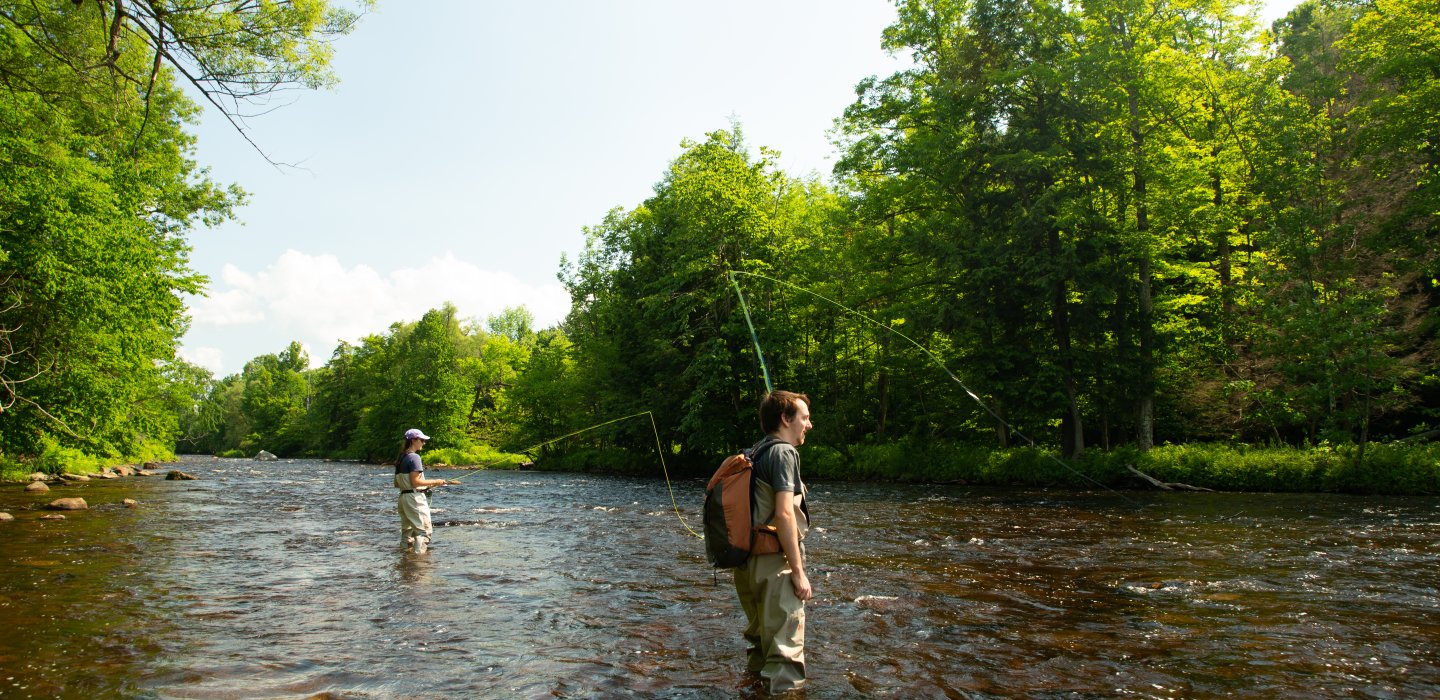
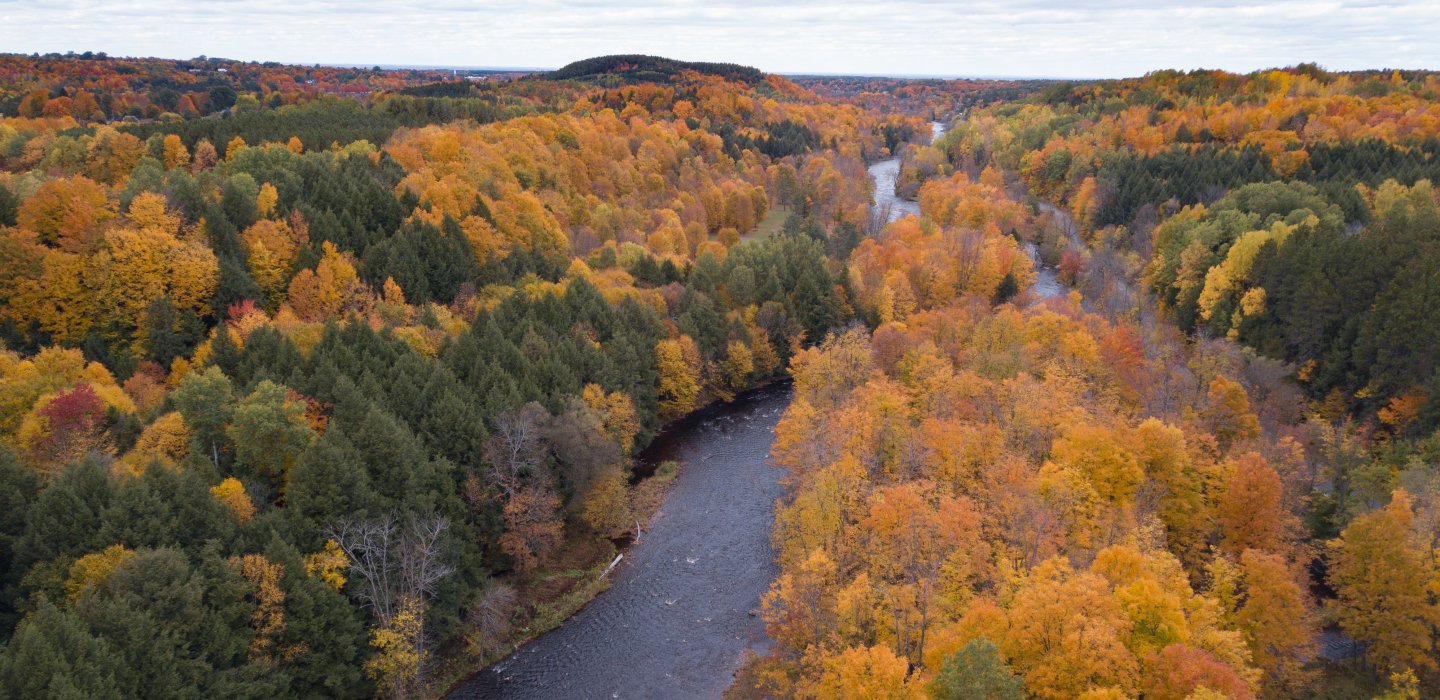
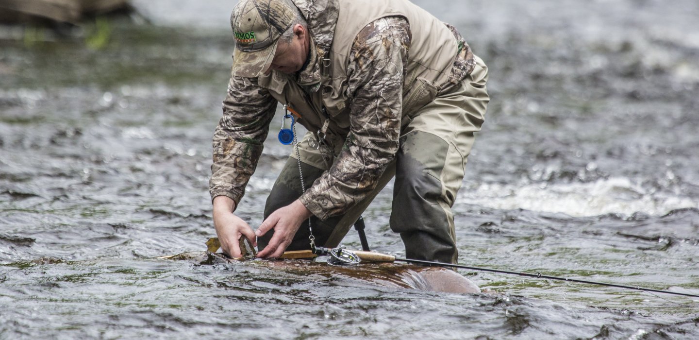
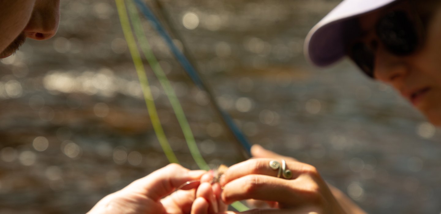
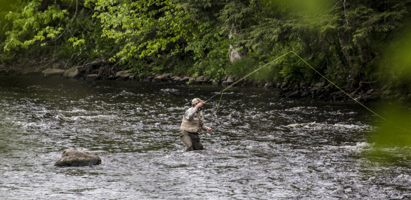
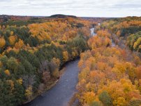
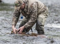
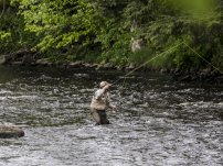
Fishing
The Salmon River is stocked each year with brown and rainbow trout.
There are six designated fishing areas along its length, which is a thirty three foot strip (on one or both banks) that allows anglers to walk and fish along the bank. Such areas will be posted with the bright yellow Public Fishing Stream designation.
From south to north:
Section I: Mountain View to Oxbow - borders state land in Belmont. Access via Route 27 and a hiking path of approximately 0.75 miles. It is about 0.6 miles from the intersection of the Barnesville Road to the south.
Section II - Oxbow to Chasm Falls - the right bank is a small section known as the Needle’s Eye, approximately 1.5 miles downstream of Chasm Falls. This is reached via a footpath off the Pond Road, 0.2 miles south of the Owls Head Pinnacle trailhead.
Section III: Chasm Falls to Whippleville - both banks near the River Street School, south of Bull Run Road and Route 25 (north of Chasm Falls.) Also, a left bank stretch further north, centered at the intersection of Cox Road and Route 25.
Section IV - Whippleville to Malone - access along the River Road between Whippleville almost to the Pinnacle Reservoir.
Section V - Lamica Lake to Island - From the Cady & Shears Road intersection, a section of left bank moving north. Once north of Cargin Road there is some right bank access increasing approaching the Island. Parking on Cady Road with a foot trail to the river, at the crossing of Cargin Road, and the areas west of the river on Townline Road
Section VI - Island to Westville Center - For a short distance north of Westville Center, and then moving south of Route 37, following the gravel pits, west of Pine Grove Cemetary.
Special Regulations:
from the Flat Rock Road bridge to 200 yards downstream of the Cargin Road Bridge, trout have an all year season, but it is Catch and Release with Artificial lures only