Floodwood Mountain is an excellent hike for the entire family. The terrain is moderate with a few steep sections.
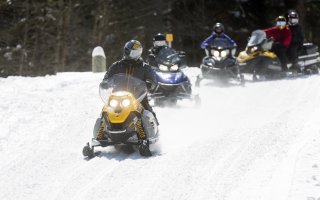
Snowshoeing
This hike is a great snowshoe trip for all ages with stamina more than skill. It is not recommended for skiing due to the steep terrain near the top.
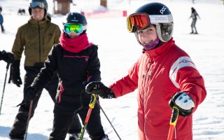
Hiking
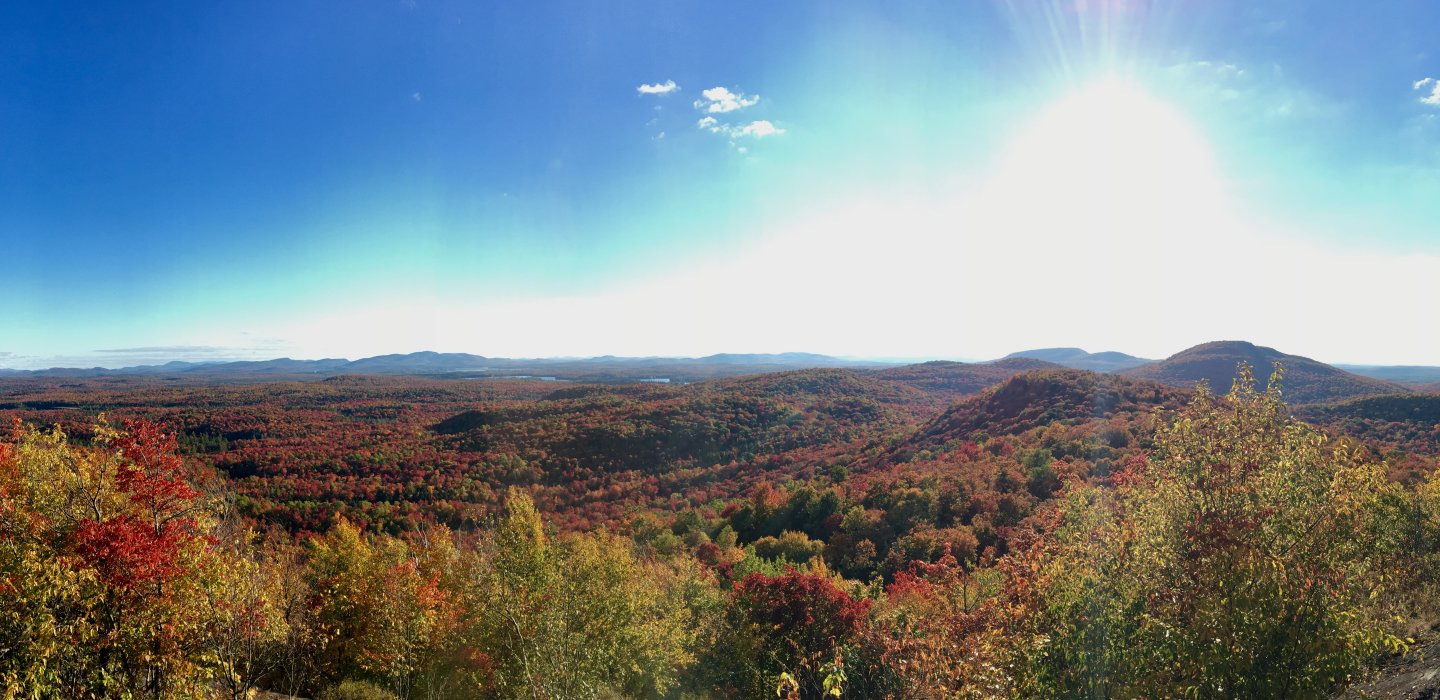
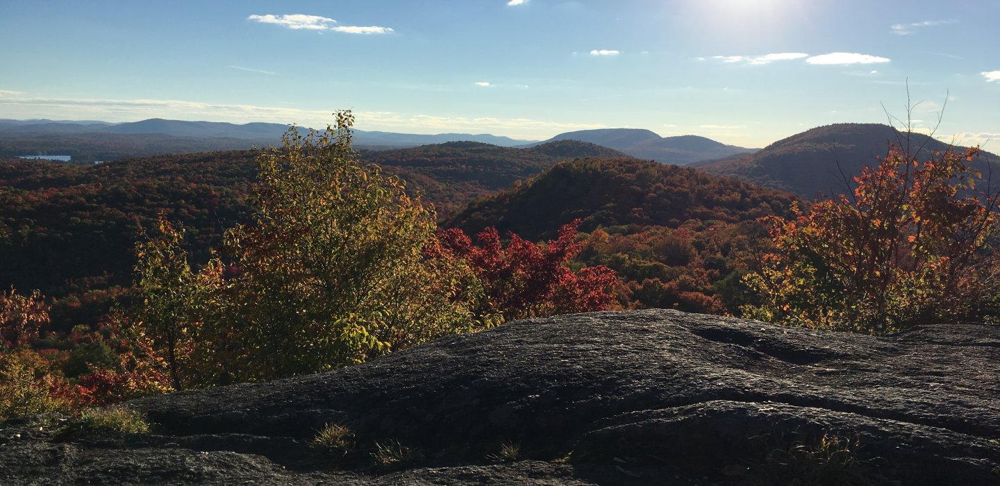
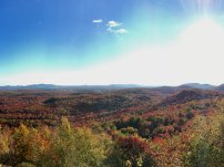
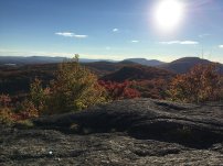
At the summit, it is a relaxing space, well-positioned for lovely vistas. A southern summit a bit farther on offers new angles which many prefer.
Trailhead
From Malone, take Route 30 south toward Paul Smith's College. Bear right in Lake Clear Junction, then watch for Floodwood Road on the right at the 44.2 mile mark (from Route 30 intersection with Route 11 in downtown Malone). Follow Floodwood Road for 6.25 miles and watch for signs for Floodwood Mountain. There will be a turnoff on the left near the end.
From the gate you will be hiking along a forest road, where a bit of flooding often occurs due to beaver activity. Where the road splits, stay to the right.
The trail leaves the road soon after the fork and begins a moderate climb over rocky terrain to a few short, steeper pitches that bring you to the highest summit on Floodwood Mountain. A sign on a tree directs you toward the Southern Summit. This section is marked and is only about 0.25 miles in length. There is a short, steep descent over slab rock to a small rock scramble that gets you to the summit.
Distance Round Trip: 4.2 miles
Elevation: 2,304
Elevation Gain: 700 feet
Camping
Floodwood Pond has sites for a beautiful backcountry camping experience. Many can only be reached by watercraft, but some in the nearby area are roadside.At-large backcountry camping is also permitted throughout the Saranac Lakes Wild Forest, as long as all sites are more than 150 feet of water, roads, or trails unless otherwise posted.