The river can be paddled up or downstream from this location. The best accompanying launch area is a bit further north along Blue Mountain Road and is roadside.
How to Get There
Follow Route 30 south out of Malone and turn right on Route 458, following it west toward Santa Clara. Continue for about 10 miles and turn left on Dexter Road. Follow that to its end, then turn left on Blue Mountain Road to follow it south. Blue Mountain Road can be very rough so take your time. Continue down Blue Mountain Road for about 10.8 miles to a gated road on the right. There is an empty DEC sign post located here. This road — identified on most maps as Adirondack Park Preserve — is 0.6 miles long.
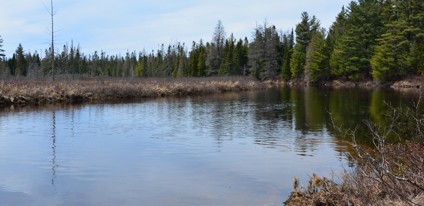
Paddling
As with any river or stream paddle it is important to know the contours of the stream. The St. Regis River does have periodic rapids, but near this launch it is flat and most of the up and down stream sections are calm with deep oxbows. Carry trails do exist around the rapids downstream. It is extremely helpful to have a second car waiting at the end, if possible.
Additional Information
The launch is a sandy beach. However, it is important to be aware that the carry is 0.8 miles, although it is mostly flat and fairly easy.